The Texas Intracoastal Waterway (ICW) is a system of man-made channels, natural waterways, and canals that stretch approximately 423 miles along the Texas Gulf Coast. The waterway provides a protected route for commercial and recreational vessels to travel between ports and harbors along the Gulf of Mexico.
The Texas ICW starts at Sabine Pass, which is located on the Louisiana-Texas border, and ends at Port Isabel, which is situated near the southern tip of Texas. The waterway consists of several interconnected canals and waterways, including the Sabine-Neches Waterway, Galveston Bay Entrance Channel, Gulf Intracoastal Waterway West, and Gulf Intracoastal Waterway East.
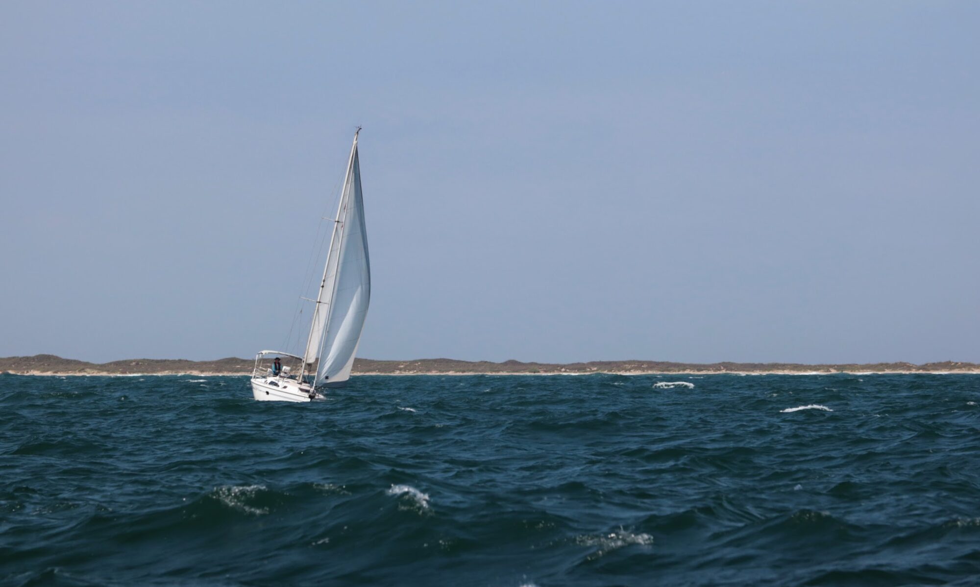
The Texas ICW is a vital transportation route for cargo ships, barges, and other vessels, transporting goods such as oil, petroleum products, chemicals, and agricultural products. The waterway also provides recreational opportunities for boaters, fishermen, and other water enthusiasts.
To ensure the safety and efficiency of navigation along the Texas ICW, the U.S. Army Corps of Engineers regularly maintains and dredges the waterway to maintain appropriate depths for vessels to safely navigate. The waterway also features a series of locks and dams to control water levels and prevent flooding in low-lying areas.
The nautical charts used along the Texas Intracoastal Waterway (ICW) are produced by the National Oceanic and Atmospheric Administration (NOAA) and are part of their United States Coastal Navigation (USCNAV) series. These charts are specifically designed for coastal navigation and provide detailed information on water depths, shoreline features, hazards, aids to navigation, and other important information for safe navigation.
The charts that cover the Texas ICW include:
1. NOAA Chart 11328: Sabine Pass to Galveston Bay
2. NOAA Chart 11327: Galveston Bay Entrance
3. NOAA Chart 11323: Matagorda Bay and approaches
4. NOAA Chart 11319: Aransas Pass to Baffin Bay
5. NOAA Chart 11315: Corpus Christi Bay to Port Mansfield
These charts are regularly updated to reflect changes in the waterway, such as shifting sandbars or changes in water depth due to natural or man-made causes. Mariners are advised to always check for the latest updates and navigational information before using these charts for navigation.
These charts can be obtained from NOAA’s Office of Coast Survey, either by downloading them from their website or purchasing printed copies. Mariners should always ensure they have the most up-to-date chart before navigating the Texas Intracoastal Waterway.